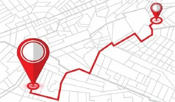
The Brigade Golden Heights map shows that the project is in a very good location on Budigere Main Road in East Bangalore. It is just 0.5 km from Old Madras Road (NH-75), so travel is quick and easy. From here, people can reach Kempegowda International Airport in about 35 minutes using SH-104. It also connects well to Whitefield and ITPL, where many offices are located. This area is growing fast. It is close to the upcoming Namma Metro Blue Line and the Satellite Town Ring Road (STRR). Because of this, people get easy travel now and also see good property value in the future.
Brigade Golden Heights Map and Address
The Brigade Golden Heights map shows why this project is in a good and useful location. It sits between East Bangalore tech areas and growing North Bangalore, so travel is easy in many directions. The project is on Budigere Main Road in Cheemasandra Village. Even though it is in East Bangalore, it also gives quick access to North Bangalore and the airport side. Here are the exact location details
- Coordinates: 13.05° N, 77.75° E
- Google Plus Code: 2PXX+4R Bengaluru
- Nearby Landmark: The project is just 2.6 km (around 5 minutes) from Orion Uptown Mall
These details make it easy to find on maps and simple to reach.
The official address of the project is:
- Project Name: Brigade Golden Heights
- Survey Numbers: 17/1, 17/2, 17/3, 17/4, 17/5
- Road: Budigere Main Road
- Area: Cheemasandra Village
- Hobli: Bidarahalli Hobli
- Taluk: Bengaluru East
- City: Bengaluru, Karnataka
- Pincode: 560049
The map shows the project is in a good location, near main roads, famous places, and growing areas, so travel is easy, and the place has good value.
How to Reach Brigade Golden Heights?
Reaching Brigade Golden Heights on Budigere Main Road is easy and simple because it is close to main roads and transport points. Whether you are coming from Whitefield, the city areas, or the airport, the project is in a well-connected spot in East Bangalore.
1. By Road (Car/Cab)
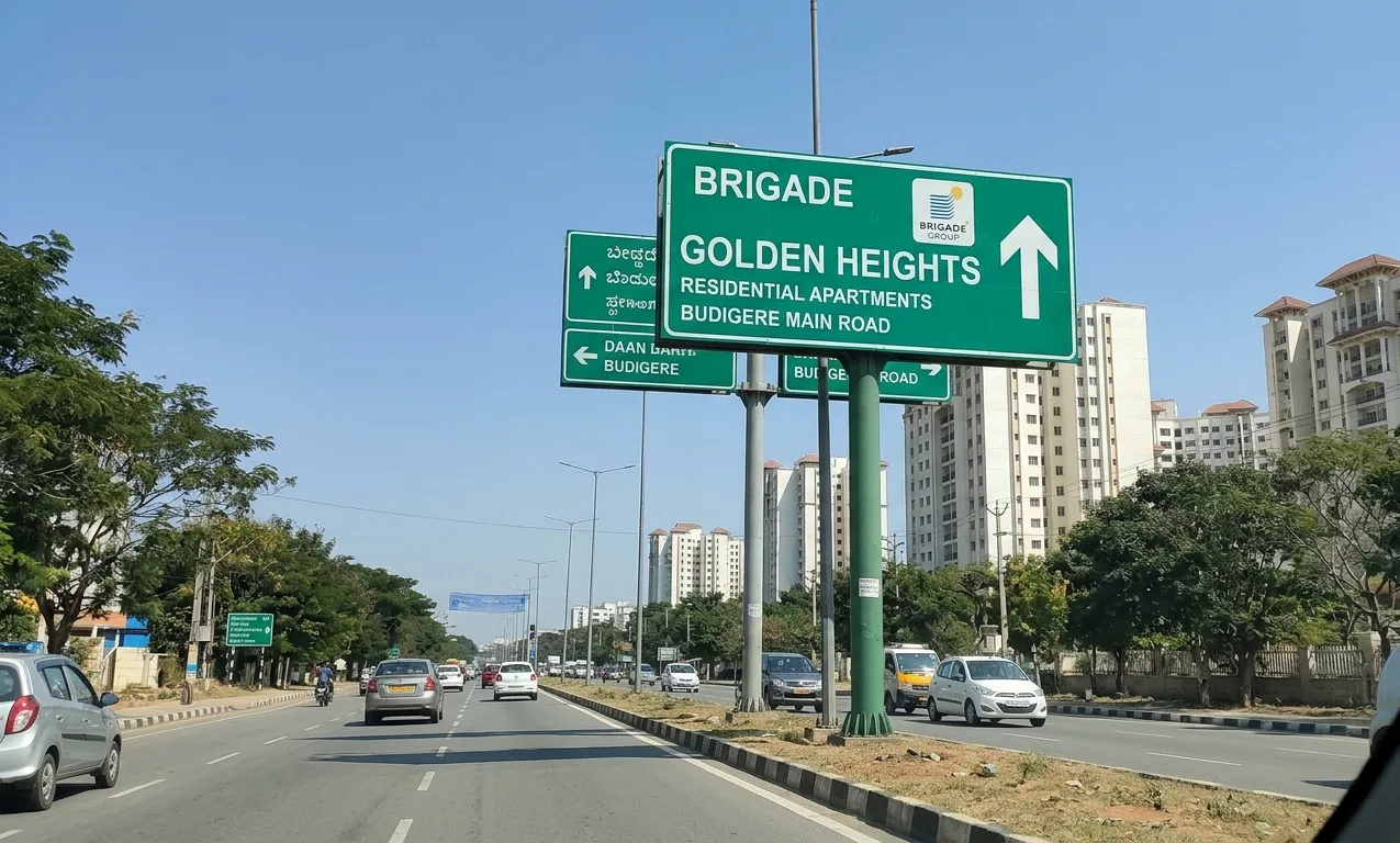
The project is just 500 meters from Budigere Cross on Old Madras Road (NH-75), which is a major highway.
- From Whitefield / ITPL: Drive through Whitefield-Hoskote Road or Kadugodi Road. The distance is about 12.2 km, and it usually takes around 35–40 minutes, depending on traffic.
- From Indiranagar/MG Road: Drive straight on Old Madras Road (NH-75) towards Hoskote. After crossing the KR Puram hanging bridge and Katamnallur Cross, take a left at Budigere Cross onto Budigere Main Road.
- From Manyata Tech Park / Hebbal: Take the Outer Ring Road (ORR) and connect to NH-75, or use Hennur-Bagalur Road and then connect through the Budigere-Bagalur road stretch.
2. From Kempegowda International Airport (KIA)
Brigade Golden Heights is a good choice for people who travel often by flight.
- Route: Use SH-104 (Airport Road), which gives a smooth and signal-free drive towards the Budigere area.
- Distance/Time: Around 25 km, and it usually takes about 35 minutes.
- Public Travel: Take BMTC Vayu Vajra (airport buses) and get down at Budigere Cross. From there, it is just a 2-minute auto or cab ride to the project.
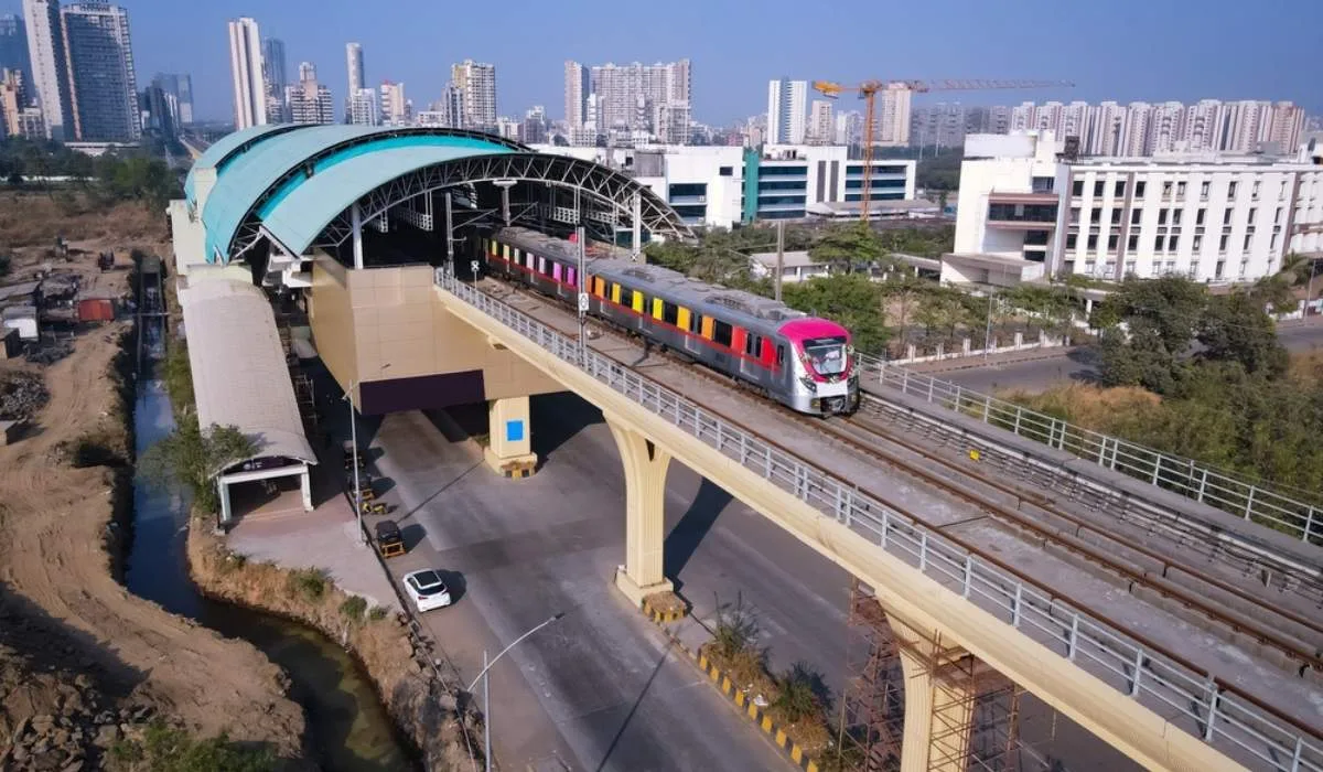
3. By Metro (Namma Metro)
Metro travel is also possible, and it will become even better in the future.
- Current Nearest Stations: KR Puram Metro Station (11.7 km) or Kadugodi Tree Park Station (9.8 km)
- Travel from Metro: From these stations, you can take Uber, Ola, local cabs, or feeder buses to reach Budigere Cross. It takes about 15–20 minutes from the metro to the project.
- Future Benefit: The ongoing Blue Line (Airport Metro) will make travel even faster and easier by December 2027.
- 4. By Public Bus (BMTC)
Buses are also easily available in this area.
- Bus Routes: Look for 316 series (Majestic to Hoskote) and 317 series (KR Market to Hoskote) buses.
- Bus Stop: Get down at Budigere Cross.
- Last Distance: The project is just 500 meters away, so you can walk or take a quick auto ride.
Distance from Key Areas
The “Distance from Key Areas” is a main reason why many people choose Brigade Golden Heights. The project is on Budigere Main Road and gives a good balance between Whitefield (IT area) and the Airport side, which is helpful for IT workers and people who travel often.
Below are the distances to important places (2026):
1. Major Work & Tech Areas
The project is in a good spot to reach Bangalore’s main IT hubs.
- ITPL/Whitefield: 12.2 km (about 40 mins) – Big companies like Oracle, TCS, and SAP are here.
- EPIP Zone: 15.5 km (about 35 mins) – Known for Mercedes-Benz R&D and GE offices.
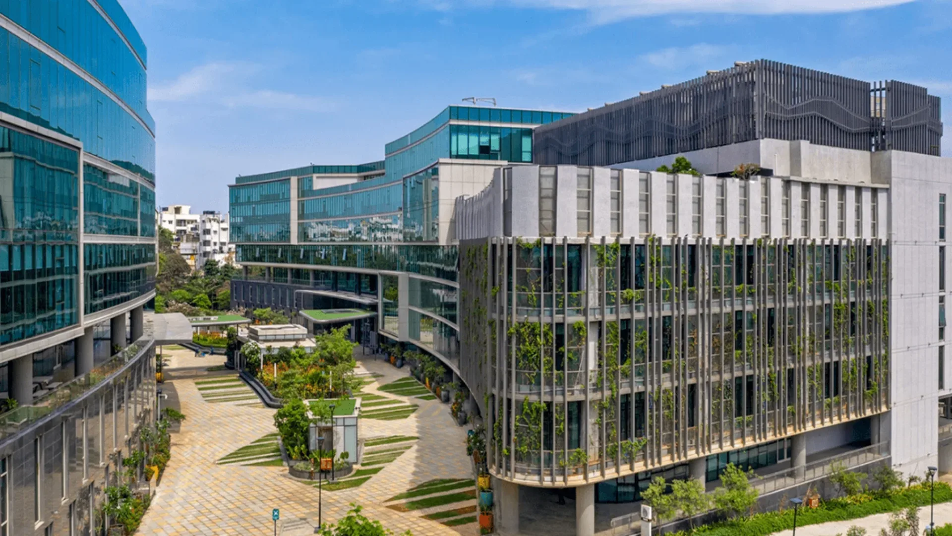
- Brigade Tech Gardens: 15 km (about 35 mins) – A modern office campus with Google and Accenture.
- Hoskote Industrial Area: 13.2 km (about 25 mins) – A fast-growing area for factories and logistics.
- Manyata Tech Park: 22.7 km (about 50 mins) – Can be reached through Outer Ring Road or Hennur-Bagalur Road.
2. Travel & Transport Points
The project is close to highways, metro, and railway, making travel easy.
- Old Madras Road (NH-75): 0.5 km (just 2 mins) – Direct main road access.
- Kempegowda International Airport: 25.2 km (about 35 mins) via SH-104.
- KR Puram Metro Station: 11.7 km (about 30 mins).
- Kadugodi Tree Park Metro: 9.8 km (about 15 mins).
- Whitefield Railway Station: 9.4 km (about 20 mins).
3. Daily Needs & Lifestyle Places
Many important places are nearby, within 5 to 15 minutes.
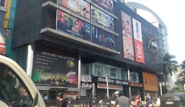
- Orion Uptown Mall: 2.6 km (5 mins) – For shopping, food, and movies (PVR).
- Schools:
- Prerana International School: 1.3 km (4 mins)
- New Baldwin International School: 3.1 km (4 mins)
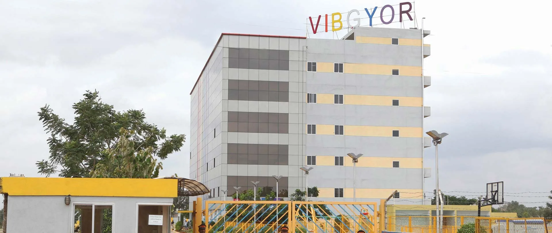
- VIBGYOR High School: 3.2 km (7 mins)
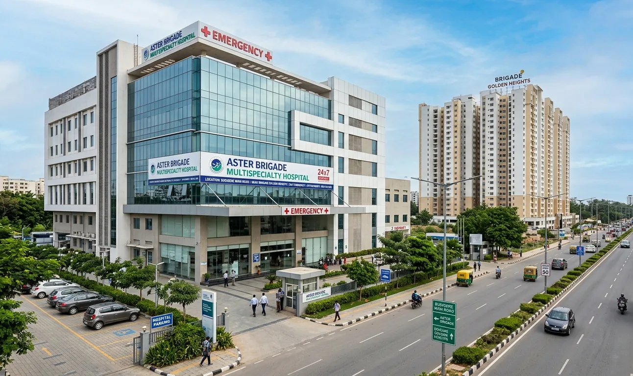
- Hospitals:
- Sri Sai Health Care: 1.1 km (2 mins)
- East Point Hospital: 5.9 km (14 mins)
- Siliconcity Hospital: 6.6 km (14 mins)